
Back to Terraform Group
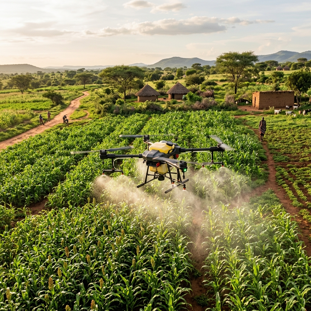
Agrivision drone-assisted farm monitoring

Agrivision

Venture profile

Carbon Farming & Land Intelligence

Drone, satellite and geospatial evidence support for carbon-farming and carbon-credit programmes — monitoring land use, vegetation and environmental change to support MRV, audit-readiness and farmer verification.

Agrivision supports carbon-farming programmes with measurable, audit-ready evidence of land use and environmental change.

Monitoring, Reporting & Verification (MRV)

Repeatable drone and satellite capture documents vegetation, soil cover and land management so carbon outcomes can be measured and reported against recognised standards.
Farmer Verification & Payment Support

Field evidence links practice changes to individual farm plots, supporting transparent verification and payment flows for participating smallholder and commercial farmers.

← Back to Agrivision overview